Met Office issues NINE yellow weather warnings for New Year with heavy snow and 60mph winds to batter whole of UK
WATCH NOW: Today's weather forecast
|GB News

Nine yellow alerts have been issued by the Met Office from December 30 to January 2 - with not a single region in the UK left unscathed
Don't Miss
Most Read
The Met Office has issued a series of yellow weather warnings, with heavy snow and powerful winds up to 60mph set to batter the UK over the New Year.
Alerts for snow, rain and wind have all been issued by the weather forecaster, bringing with them “disruption” as 2025 begins.
The Met Office says that 20-25mm of snow could fall in the next few days, and whilst the highest buildup will be in the Scottish Highlands, swathes of England will be treated to flurries of snow.
Major northern cities - such as Manchester, Newcastle, Sheffield, Liverpool and Leeds - could see snow accumulations as “cold air moves across the northern half of the UK”.
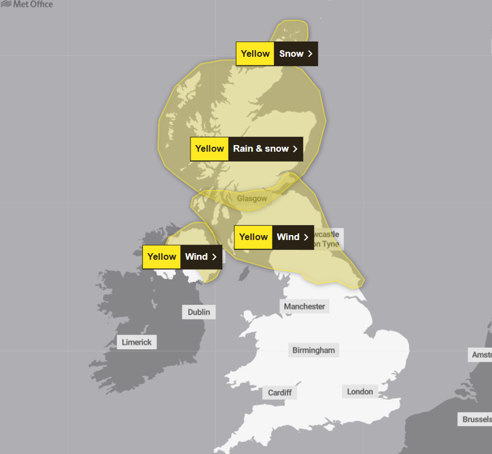
The first set of alerts beginning on December 30 and lasting until New Year's Eve
|Met Office
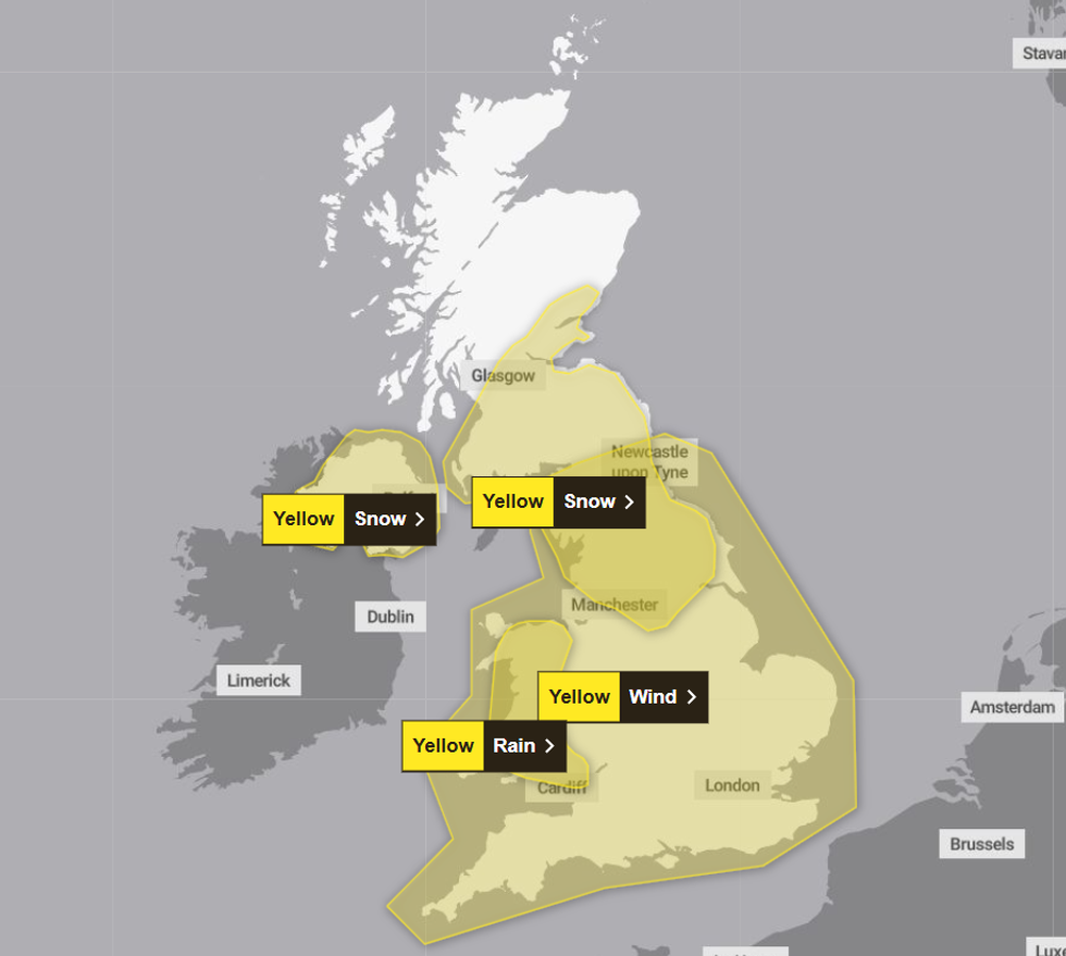
Numerous yellow alerts will come into effect as the 2025 commences
|Met Office
In total, nine yellow alerts have been issued by the Met Office from December 30 to January 2, with not a single region in the UK left unscathed.
Issuing their snow alert which commences on Wednesday at 9am and lasts until the early hours of Thursday morning, the weather forecaster said: “A band of rain in association with a deep low pressure system moving in from the west pushes east on Wednesday.
“This is likely to turn to snow as it moves into cold air across the northern half of the UK. 2-5 cm and locally nearer 10 cm of snow accumulations are possible widely, with 10-15 cm and locally 20-25 cm over hills with significant drifting due to strong winds.”
The weather forecaster said that during this period, travel disruption to air, road, rail and ferry services is likely.
WEATHER LATEST:
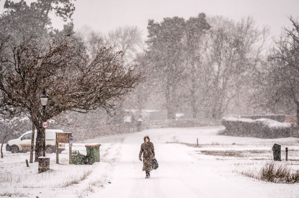
The Met Office says that 20-25mm of snow could fall in the next few days
|PA
Areas with rain warnings have been cautioned that flooding could result in homes and businesses being flooded, with damage to buildings a possibility.
Meanwhile, a wind alert comes into effect from 9am on Wednesday, lasting for almost 24 hours and covering the entirety of England and Wales.
Warning of “very strong winds”, the Met Office said that “injuries and danger to life” could occur from debris and large waves.
“A deep area of low pressure is expected to cross the UK from the west, bringing a spell of very strong winds. Gusts of 65-75 mph are likely around coasts and hills, especially in the south and west, with 50-60 mph gusts likely fairly widely inland,” the forecaster said.
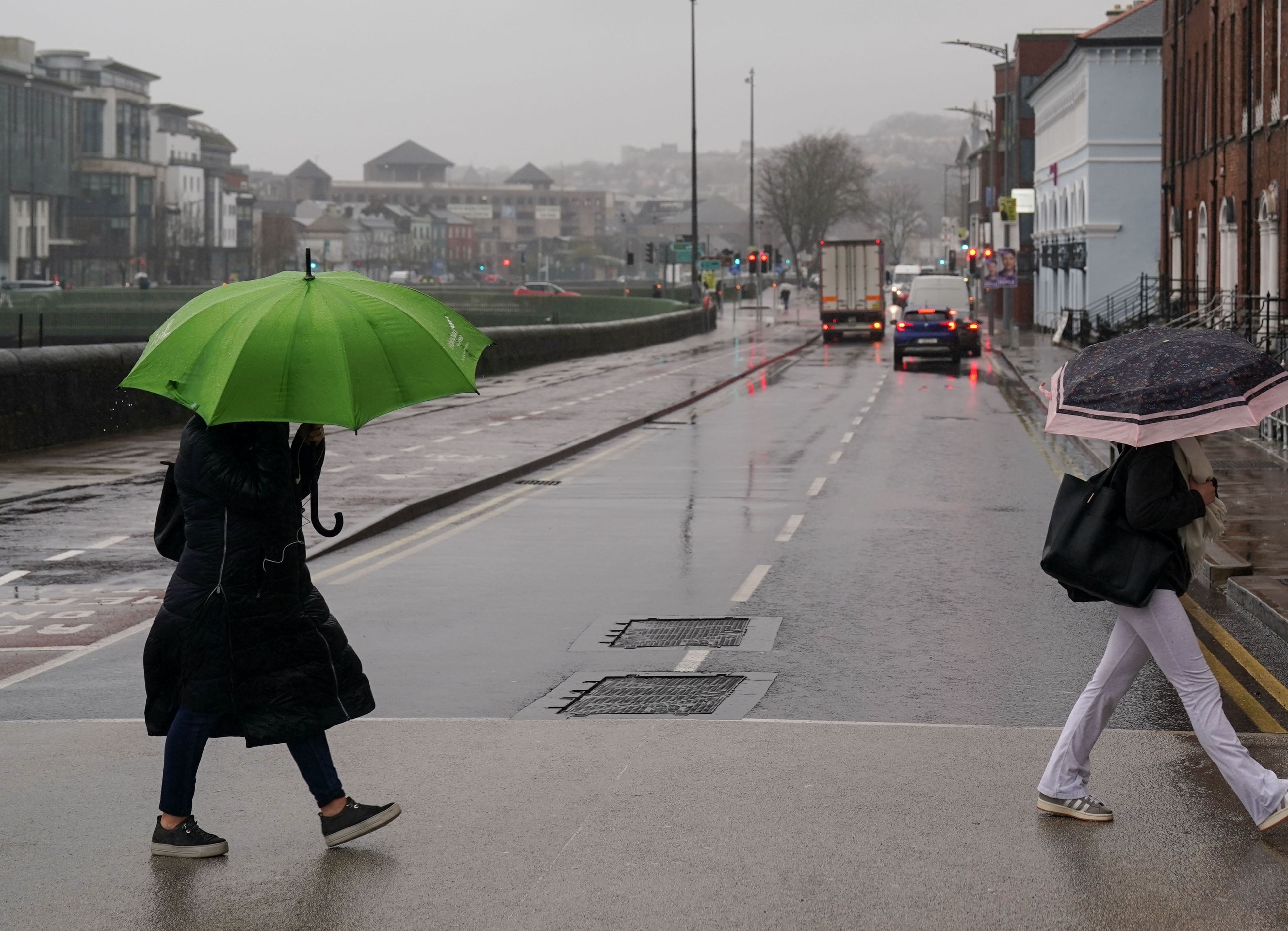
The weather forecaster said that during this period, travel disruption to air, road, rail and ferry services is likely
|PA
A previous “danger to life” rain warning, issued earlier this week, has been upgraded to include a snow alert.
The yellow alert begins at midnight on December 30 and is in effect until 11.59pm on December 31, just in time for renditions of Auld Lang Syne to commence.
The alert covers almost the entirety of Scotland, with parts of Dumfries and Galloway in the south, and the Orkney Islands in the north being spared.
Alongside the existing warning which predicted up to 140mm of rain, the Met Office said snow accumulation is likely.
“North and east of (and including) Perthshire, precipitation is likely to fall as snow, especially over high ground, with 10-20cm accumulating above 150-200 meters, with several cm accumulating at lower elevations away from windward coasts. As milder air pushes in, snow will turn back to rain, and any rapid snow melt will contribute to flooding in places.”
The final warning, the 21-hour yellow wind alert which covers the entity of England and Wales, ends at 6am on Thursday.


