


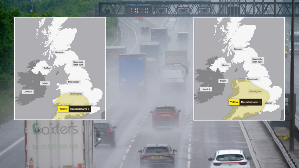
The Met Office has issued two back-to-back yellow thunderstorm warnings which will see large swaths of the UK lashed by heavy rain.
The first alert, which has warned of thundery showers and rainfall of up to 40mm, comes into effect at 12pm tomorrow and lasts until 8pm.
It is in place for parts of the east Midlands, Northamptonshire, the east of England, London & south east England, south west England, Wales, and the west Midlands.
Just hours after it ends, a second weather warning will come into effect. It begins at 1am on Saturday and lasts almost a full 24 hours, ending at midnight.
Met Office issues BACK-TO-BACK thunderstorm warnings as heavy rain to lash Britain for full 24hrs
|Met Office
The covered area is largely the same, though Northamptonshire will be spared from a second wind of rain.
The weather service has cautioned that "disruption" in the impacted regions can be expected due to the heavy downpour.
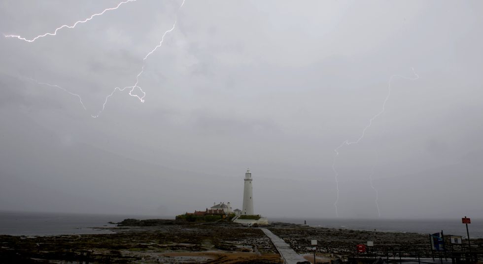
It warned that there will likely be damage to some buildings and structures due to lightening strikes.
"Driving conditions may be affected by spray, standing water and/or hail, leading to longer journey times by car and bus," the Met Office said, adding that delays to train services are also possible.
WEATHER LATEST:
Met Office issues 'thunder risk' warning
| PAIt is also likely that there could be a short-term loss of power, the weather office warned.
The weather office added that "there is a small chance that homes and businesses could be flooded quickly, with damage to some buildings from floodwater, lightning strikes, hail or strong winds".
It added: "There is a small chance of fast flowing or deep floodwater causing danger to life."
Announcing the first warning, the Met Office said: "A few thundery showers may be present across southern and southeast England early on Friday, but from the middle of the day they are expected to develop more widely within the warning area.
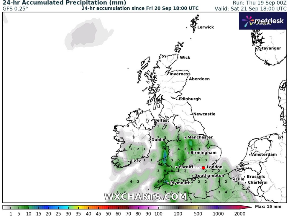
Rainy conditions are set to batter parts of the UK this weekend
|WXCharts
"Whilst some places will remain dry, where thundery showers do occur, they will bring frequent lightning, gusty winds, potentially some large hail, as well as brief spells of heavy rain. 15-25mm of rainfall may fall within an hour, with a very small chance of 30-40mm falling in 3 hours; the latter most likely across southwest England. Showers will tend to ease and fade during Friday evening."
Even more rain could fall on Saturday, with some areas facing "the most intense storms", seeing as much as 70mm over the course of a few hours.
"Whilst there is some uncertainty in the details, scattered showers and thunderstorms are likely to develop and spread northwestwards at times later on Friday night and through Saturday. While much of the time it will be dry, and not all places will see these, where they do occur 20-40mm could fall in less than an hour, with a small chance of isolated accumulations of 50-70mm over the course of a few hours.
"In addition, hail and frequent lightning may accompany the most intense storms, especially during Saturday afternoon and evening in parts of the Midlands, southern England and east Wales."