


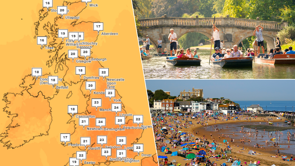
Parts of the UK are set to reach temperatures as high as 27C next week, meteorologists have said, in the wake of the hottest day of the year so far.
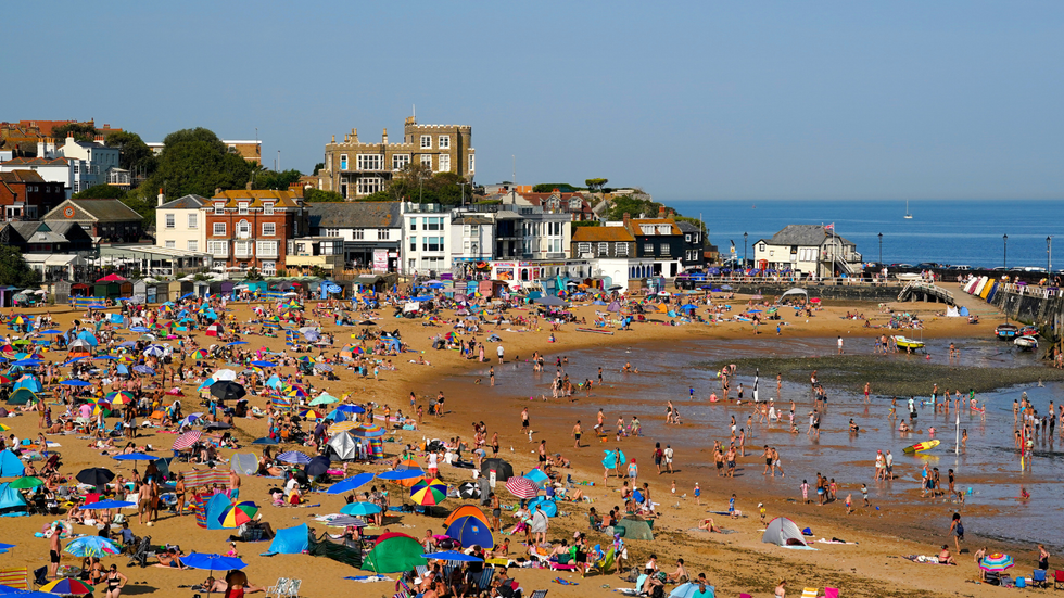
On Friday, London's St James's Park reached just shy of 32C - the warmest day on record in 2024.
And things are slated to heat up once again coming into next week - but forecasters have talked down expectations of "wall-to-wall sunshine".
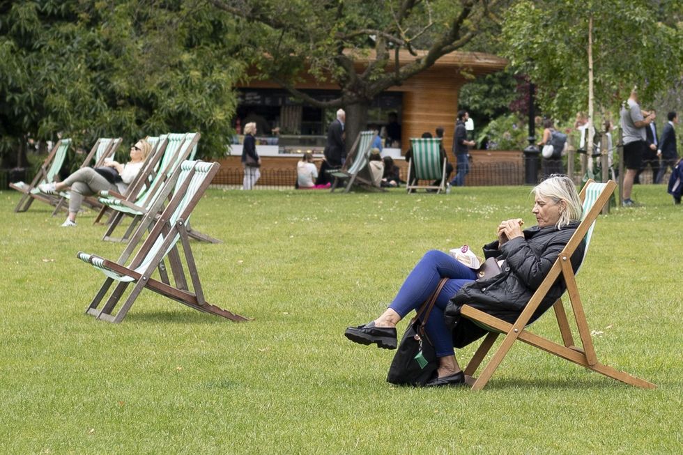
As the school summer holidays approach, a cloudy and cool weekend is set to make way for hotter temperatures - but rain is expected to move in from the west on Monday, handing the north of England, Scotland and Northern Ireland a smattering of wet spells.
Britons could be basking in the high 20s next week
|Met Office/PA
The weather is likely to settle down on Tuesday and Wednesday, with temperatures starting to climb in some areas. In the south, temperatures could reach as high as 26C or 27C in a few spots.
Thursday is then expected to be wet before things settle down again going into next weekend.
Met Office meteorologist Craig Snell said most of the country will see "dry and bright spells" today, but his predictions for the coming week suggest conditions won't stay quite as pleasant.
He said: "It won't be wall-to-wall sunshine and we’ll see rain in the north on Monday and the rest of the country on Thursday.
MORE WEATHER NEWS:
On Friday, London's St James's Park reached just shy of 32C
|PA
"It also won't be as hot as recent days but warmer than the start to July. It will be an improvement.
"Overall, the South-East and South are likely to see the warmest temperatures next week."
Beyond that, the Met Office's long-range forecast predicts a return to "changeable weather patterns" and "short-lived" warmer spells.
It says: "Through Thursday and Friday a band of cloud and rain pushes southeastwards, with some heavy bursts, and a chance of a few showers forming ahead of the rain.
As the school summer holidays approach, a cloudy and cool weekend is set to make way for hotter temperatures
|PA
"Likely becoming more settled into the following weekend with the potential for warmer or thundery conditions for a time in the south.
"Thereafter changeable weather patterns seem likely to resume early in August. Showers and occasional spells of rain are likely to affect all regions at times.
"However, some drier and brighter interludes are also expected, these most likely in southern and eastern regions.
"The most frequent spells of wet weather are most likely to be across northern and western areas. Temperatures mostly close to average for a time, with any warmer spells generally short-lived."