


A never-ending "battle between the Atlantic and high pressure" will keep downcast Britons under their brollies at least into mid-July.
For another week, the UK in the firing line for sub-par temperatures and relentless bouts of gusty rain.
Although temperatures will rise in a balmy southerly wafts, and late-July shows hints of turning warmer, no summer heatwave awaits.
Instead, long-range government outlooks describe "pleasant" weather and "temperatures generally near average".
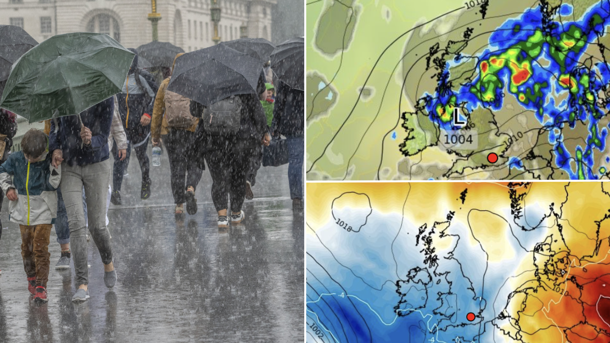
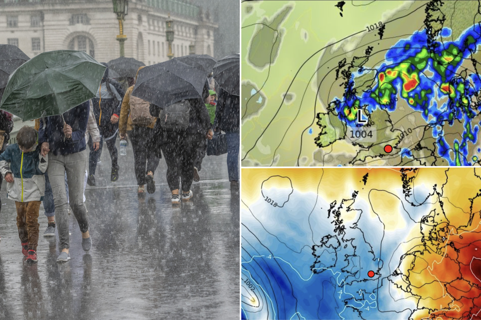 More rain is expected to hit Britain | PA/WXCharts
Jim Dale, meteorologist for British Weather Services and social commentator, said: “We are going to lose the cold feel and it will turn warmer through the week with temperatures closer to average rather than below average.
“But while it will feel pleasant, there is still a battle doing on between the Atlantic and high pressure which would bring any heat towards the UK.
“So, at least for the next week, we are going to be looking over our shoulders for the risk of rain.”
Britain will be literally left out in the cold while the rest of Europe basks in a sultry plume from Africa.
A swath of heat covering much of the Continent will struggle to get close enough to Britain to swing the weather.
Mr Dale said: “High pressure is being battered to bits with what is coming off the Atlantic.
“There is still the heat dome over Europe and this is where the higher temperatures are, so while everywhere else in Europe is in the party, Britain, Ireland, northern France and Scandinavia are missing out.”
LATEST DEVELOPMENTS:
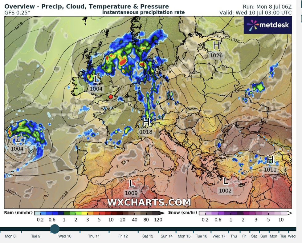
As storm clouds continue to gather, bookies are slashing the odds on the wettest July ever
|WXCharts
Temperatures will, however, start moving in the right direction, although the risk of downpours will be ever present.
Unsettled weather systems will barrel in from the Atlantic through the coming days, according to the Met Office.
Meteorologist Alex Burkill said: “Another system comes in from the south and the southwest as we go into the beginning of the week.
“But it is likely to turn quite a bit warmer as we go through next week.
“A Scandinavian high is most likely as we head into the middle part of next week and it is going to turn significantly warmer than it has been, with a good rise of about 4C or 5C perhaps.
“If you are hoping for something a bit warmer, there is some good news, but if you are hoping for something settled, that may not be the case.”
Of mid-month onwards, a Met Office spokesman said: “It should feel pleasant enough in mostly light winds and sunshine, with temperatures generally near average, but some rural areas could experience chilly nights.
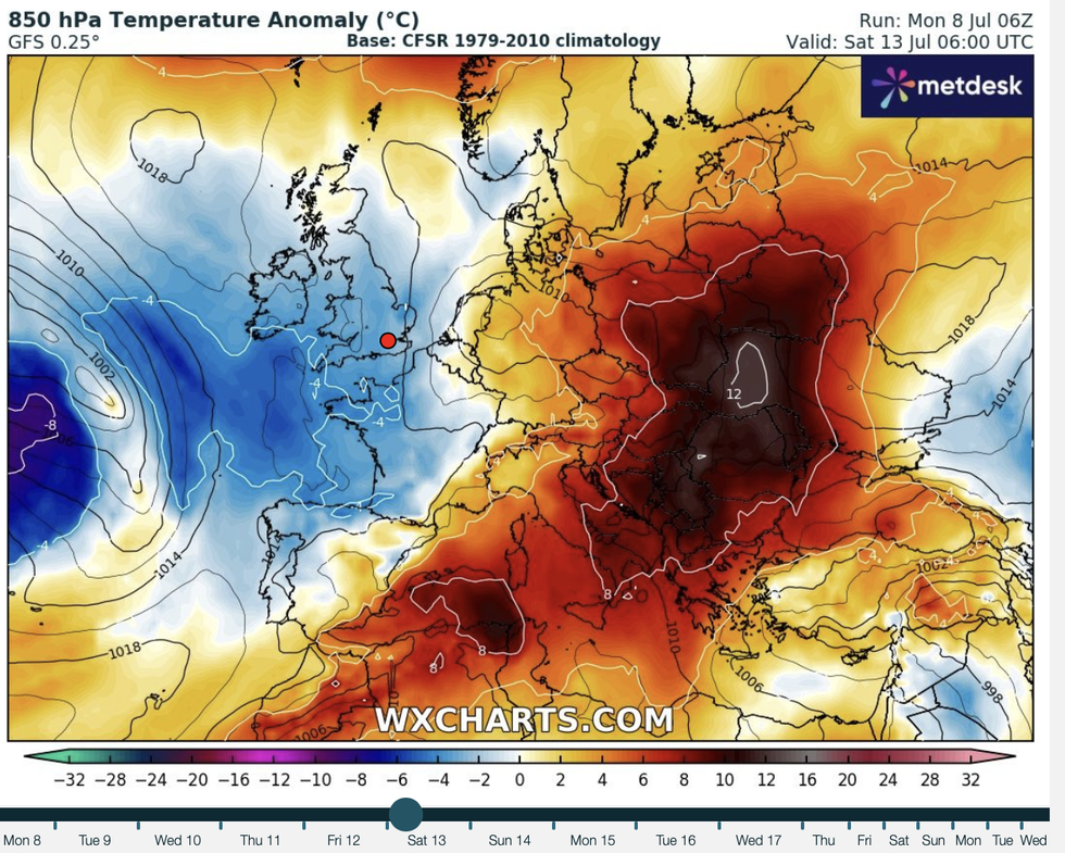
A swath of heat covering much of the Continent will struggle to get close enough to Britain to swing the weather
|WXCharts
“However, there is also a chance that rain may fringe into easternmost and southwestern most areas at times.”
As storm clouds continue to gather, bookies are slashing the odds on the wettest July ever.
Ladbrokes spokesman Alex Apati said: “We've hardly been treated to much of a summer as of yet, and the odds suggest even more miserable weather is on the way, with record-breaking July rain now looking likely."
A long scorchio is unlikely at this stage as ground temperatures will be low after weeks of cool weather.
Sea temperatures around the UK will also be below where they are at this point during a hot summer.
But in more hopeful news, the end of July could see the clouds part and the sun finally make an appearance.
Exacta Weather forecaster James Madden said: “There is a pattern change for particularly from mid-July and this could bring some very hot to potentially extreme heat.”