


Britain looks set to be battered with thunder and lightening this weekend as a weather system drifts across the Atlantic.
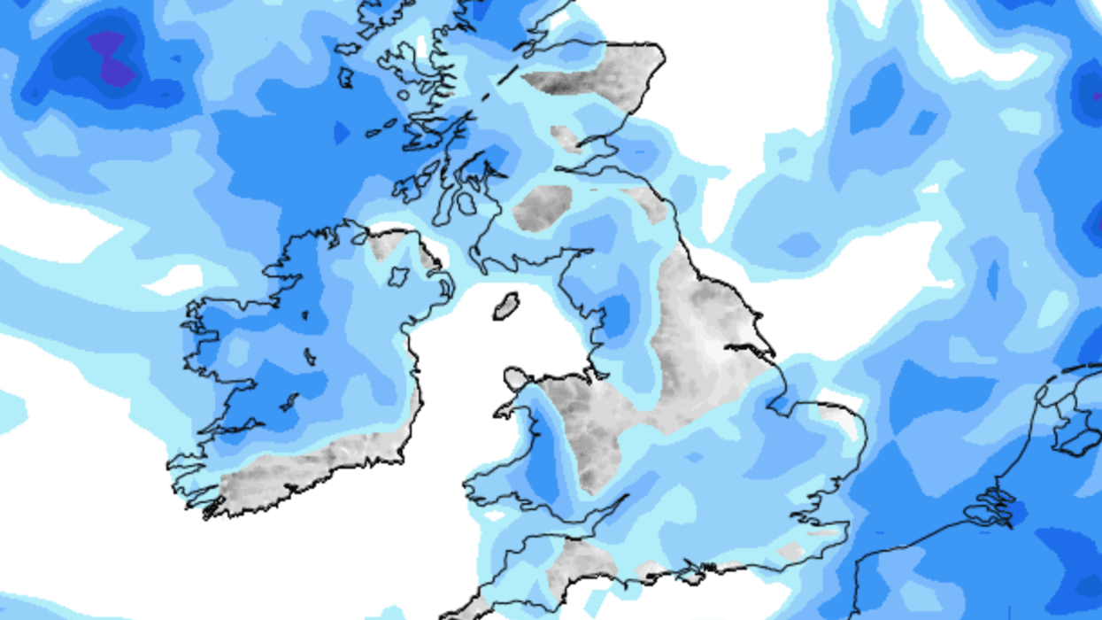
A large band of rain is expected to hit Scotland and Northern Ireland early on Saturday morning before moving to the majority of the British Isles.
Showers will persist into the afternoon, mainly to the north and west, and may be heavy at times but it will be mostly dry and bright in other areas.
Weather experts suggest the rain showers will continue to be scattered into Sunday afternoon.
Showers will persist into the afternoon, mainly to the north and west, and may be heavy at times but it will be mostly dry and bright in other areas.
|WXCHARTS
A band of persistent rain will move across the country on Monday, heavy at times, turning to showers in the afternoon.
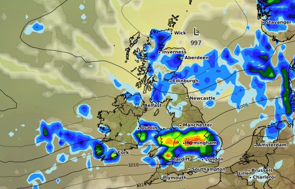
A Met Office spokesperson said: "The weekend weather will be dominated by an area of low pressure pushing into the north west of the UK on Saturday bringing a risk of heavy rain to Northern Ireland and north west Scotland for the start of the weekend.
"These showers could at times include a risk of hail and thunder and strengthening winds. There is likely to be some rain or showers possible across the far South East of England for a time later in the day.
"On Sunday the showers will again be heavy at times, and slow moving with a continued risk of thunder storms, especially for parts of Scotland. Rain or showers also expected to push into South West areas of England through the afternoon."
Britons should expect more wind, rain and unpredictable conditions into the first half of August.
The start of the month is set to be "generally unsettled" with showers and outbreaks of rain perhaps turning heavy and thundery at times.
But there is some hope for better weather in the second half of August, with the Met Office adding: "There is a increasing possibility towards late August, of a greater incidence of short spells of more settled and warmer weather with lighter winds."
Weather expert Phil Morrish explained that the jet stream coming in from the west will see more periods of rain and showers.
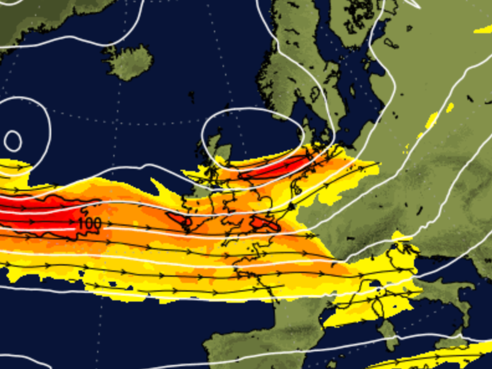
Weather expert Phil Morrish explained that the jet stream coming in from the west will see more periods of rain and showers
|Net Weather
On the outlook for August, Morrish told the Express: "There will be another seven to 10 days of this unsettled weather as the jet stream comes in from the west giving us periods of rain and showers and moderate temperatures of 20C in the south and 17 to 18C in the north.
"August 7-14 looks warmer with sunnier conditions as the jet stream moves north allowing high pressure from the south to build up.
"Between August 10-14 normal temperatures of 20 - 25C in the south. The third week of August will see more warmth, 25C to perhaps 30C if high pressure takes hold.
"There'll be one more week of unsettled conditions, then becoming more settled. It's getting better after six weeks of unsettled weather. By the third week of August, the whole country will be more settled.