UK weather forecast: Met Office responds to claims of 'snow bomb' as 'ice blast' predictions quashed

Weather forecast
|GB News

Forecasts predicted that 10cm of snow could cover Britain next week
Don't Miss
Most Read
The Met Office has quashed claims that a "snow bomb" will hit Britain as some weather maps suggest icy conditions will blanket parts of the country.
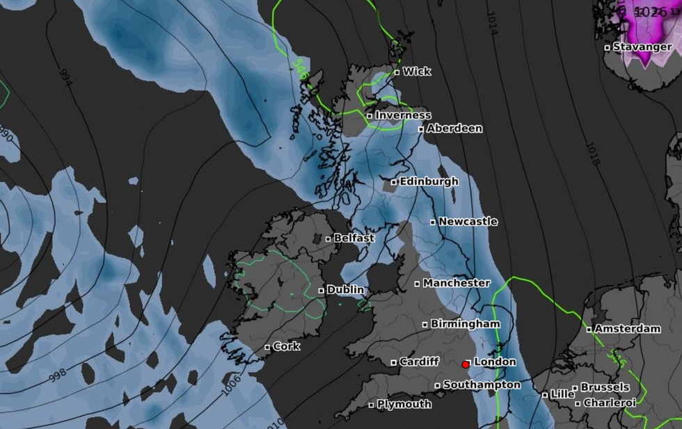
Forecasts predicted that 10cm of snow could cover an area from Scotland to the Midlands next week.
But the Met Office has debunked the reports saying any disruption next week "looks unlikely".
A spokesperson said: "The Met Office is not forecasting 10cm of snow next week.

Conditions are set to be calm, with bright or sunny spells and the occasional shower near eastern coasts on Thursday and Friday
|WXCHARTS
"There may be a few cm over the tops of the Scottish Mountains and perhaps the northern Pennines but any disruption at this stage looks unlikely."
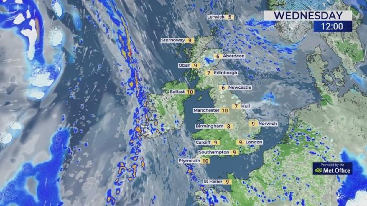
Snowfall is expected to fall in northeast Scotland this week, according to maps from the Met Office.
Its long range forecast for next week predicts a largely dry conditions with some occasional showers.
After some rainfall on Sunday, "mainly dry conditions developing for most areas at the start of next week", the forecast said.
LATEST DEVELOPMENTS:
"It will probably stay drier and brighter across the north, although still with a few showers in places."
Conditions are set to be calm, with bright or sunny spells and the occasional shower near eastern coasts on Thursday and Friday.
Met Office meteorologist Aidan McGivern said: "It’s not going to be entirely rain-free, but certainly compared with recent weeks, there will be less wet weather around now."
Temperatures will remain around average for this time of the year, with highs of 10-11C forecast in the south.
 The Met Office has quashed claims that a 'snow bomb' will hit Britain as some weather maps suggest icy conditions will blanket parts of the country | WXCHARTS
In northern parts of Britain, temperatures will likely dip.
McGivern said: "A marked temperature contrast starts to form through Wednesday, Thursday and Friday."
"We’re going to see 6-7C and a brisk wind coming in from the North Sea."


