UK weather: Britain to be battered by 'HEAVY SNOW' as ex-hurricane drags in sub-zero Arctic plume

Over higher ground, the first proper snow of the season could lay an early winter carpet
Don't Miss
Most Read
An early winter chill will sweep Britain as an ex-hurricane drags in a sub-zero Arctic plume and ‘heavy snow’.
There remains of Kirk were last night sweeping northern France where the full force of impact threatened strong winds and rain.
In its wake, a swath of cold air will spill across the UK, with parts of the country braced for the first frosts of the season and even snow.
Scotland and northern Britain will feel the sharp edge of the chill while temperatures drop widely further south.

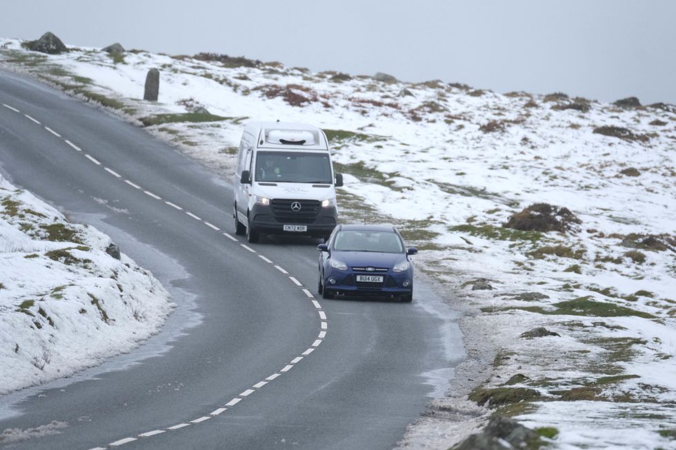
Over higher ground, the first proper snow of the season could lay an early winter carpet
|PA
Over higher ground, the first proper snow of the season could lay an early winter carpet.
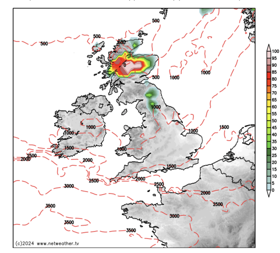
James Madden, forecaster for Exacta Weather, said: “Snow or heavy snow showers will continue across higher ground in the far north and Scotland through Thursday, Friday and Saturday.
“Saturday afternoon in particular could bring a decent snow event to these parts of the country, and there will be a risk for some wintry across higher ground in northern England.”
Cold air is being pulled in by the remains of Hurricane Kirk as it hitches a ride from the tropics on the jet stream.
The UK narrowly dodged a direct hit with a more powerful knock-on storm as the jet swept ex-Kirk southwards.
However, the chill of its tail could push temperatures over the coming days below freezing, experts warn.
Jim Dale, meteorologist for British Weather Services and social commentator, said: “People will feel the cold ahead of the weekend, especially further to the north of the country where we could see temperatures drop to -1C or -2C, and there will be a risk of frost.
LATEST DEVELOPMENTS:

Cold air is being pulled in by the remains of Hurricane Kirk as it hitches a ride from the tropics on the jet stream
|Netweather
“The cold air is coming down from the north and in the Highlands of Scotland there is certainly going to be the chance of snow.
“Ground frosts could last into the weekend before the temperatures recover as the remains of Kirk move towards Belgium, Holland and Europe.”
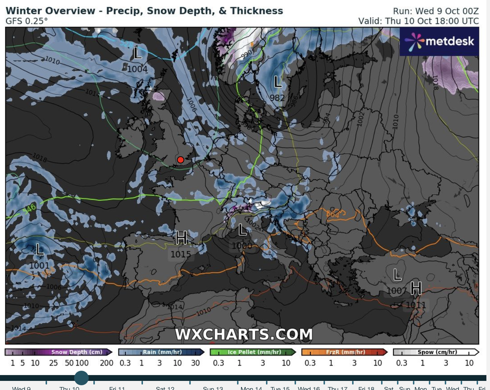
Temperatures across central Britain could drop from the current mild 14Cs and 15Cs to just above freezing, he warned.
He said: “Even further south we are looking at temperatures of around 2C, 3C or 4C, but behind this milder air should bring those back up.
“This is going to be a short-lived cold snap, with milder weather to return after the weekend.”
Experts agree that rather than a long bite of winter, the weather will deliver only a chilly nibble.

Temperatures across central Britain could drop from the current mild 14Cs and 15Cs to just above freezing
|WXCharts
As winds after the weekend sweep back in from the west, temperatures will rise with the risk of more unsettled weather.
Mr Madden said: “From Sunday into Monday, we will see high pressure starting to rise and bring some much warmer temperatures than average for the time of year.
“But the jet stream looks to stay a little erratic at times, and this could bring some potentially cooler or cold days with unsettled weather during these times as the pressure rises.”
A spokesman for the Met Office added: “Into next week, and while there will be some rain at times, this will tend to be most frequent across north-western areas, with longer drier spells likely towards the south and east.
“It will be rather breezy or windy, especially in the west and northwest, but with temperatures recovering to near or above-average, possibly bringing some warm conditions at times in the south and east.
“Towards the end of the period high pressure may become more influential, with temperatures potentially returning closer to the average for the time of year.”


