Storm Eowyn: Met Office issues yellow wind warnings covering nearly ALL of the UK as travel chaos expected
Power cuts and damage to buildings could occur
Don't Miss
Most Read
Latest
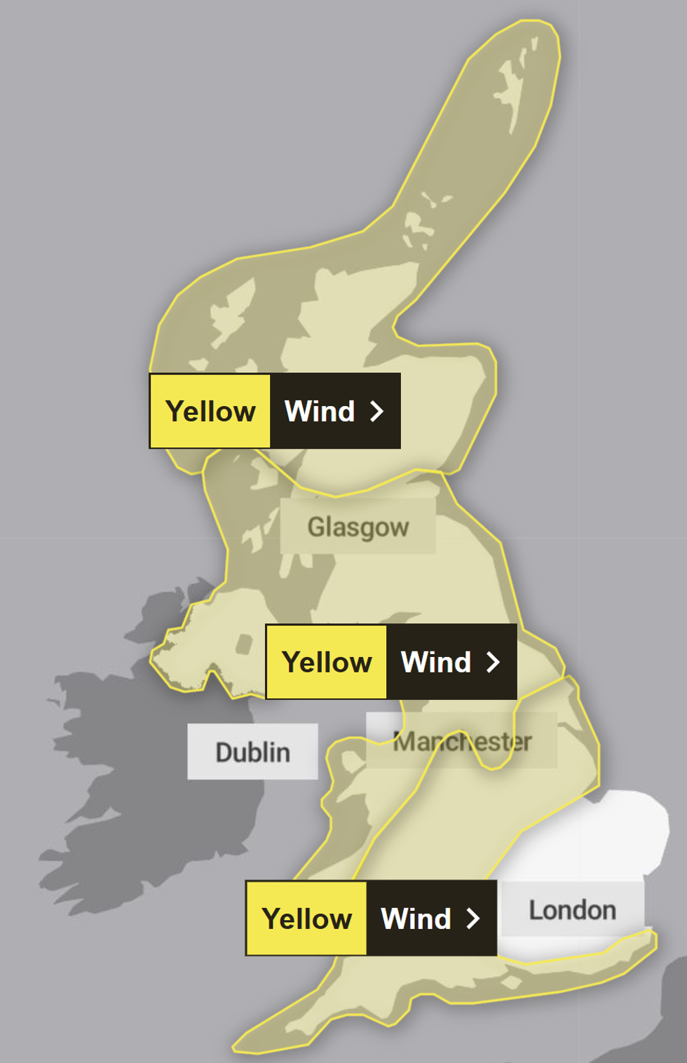
Britons are set to face travel chaos as the Met Office has issued yellow wind warnings covering almost all of the UK as Storm Eowyn is set to hit.
The forecaster has warned that power cuts, as well as some damage to buildings - even tiles blown from roofs - could occur.
The warning is from midnight on Friday until midnight on Saturday and says: "Storm Eowyn is expected to pass close to or across the north west of the UK on Friday before clearing to the north east on Saturday.
"Whilst there is some uncertainty in the track of Eowyn, a spell of very strong winds is likely, initially south easterly before turning westerly, with peak gusts of 50-60 mph inland, 60-70mph around some coasts and hills, and perhaps up to 80 mph in exposed parts of western Scotland."

The warning is from midnight on Friday
|Met Office
Road, rail, air and ferry services are likely to be affected as it might be possible that anyone travelling might experience longer journey times and cancellations.
Britons have been advised to exercise caution as the storm could pose a threat of injury and even danger to life as large waves and beach material could be thrown onto sea fronts, coastal roads and seaside properties.
The regions expected to be affected by Storm Eowyn include the East Midlands and West Midlands, London and south east England, north west England, south west England, Wales, Yorkshire and Humber.
Other areas that may be impacted further north are central Tayside & Fife, Grampian, Highlands and Eilean Siar, Northern Ireland, Orkney and Shetland, southwest Scotland, Lothian Borders and Strathclyde.
LATEST DEVELOPMENTS:
Following Friday, a blitz of severe gales and plunging temperatures threatens the calm start to 2025 sparking warnings of weekend weather chaos.
Depending on the track of the huge storm, which will bring the fifth name since October, parts of the country risk heavy snow.
It will hurtle towards Britain on an unusually strong jet stream powered by a -20C ice plunge gripping the States.
Met Office meteorologist Aidan McGivern said: “It is relevant for the UK’s weather what happens as a result of this cold blast across the US.

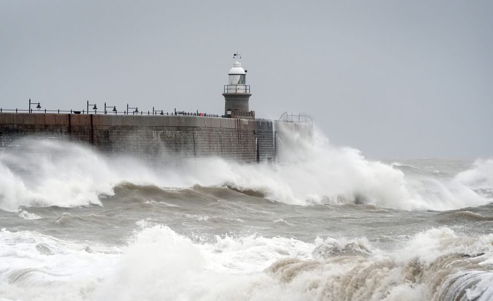
Large waves and beach material could crash onto sea fronts, coastal roads and seaside properties (Stock)
|PA
“The power of that jet stream coming out of America is really going to stir things up for the UK, and it is going to bring about a marked change in the weather.
“It will bring westerlies, chopping and changing, spells of wind and rain, and it will be very unsettled with potentially some deep lows, although it is still early to give exact details on that.”
Coastal residents have been been advised to stay vigilant as "even from the shore large breaking waves can sweep you off your feet and out to sea", the forecaster said.
The Met has also suggested that those expecting to travel should check road conditions and transport timetables before they set off if they are intending to drive or use public transport.


