Met Office issues extremely rare RED WARNING as 100mph winds to smash UK - 'Stay indoors!'

WATCH: Weather journalist Nathan Rao details the 'danger to life' weather warning
|GB News

Flying debris is set to cause danger to life across Northern Ireland and Scotland
Don't Miss
Most Read
Latest
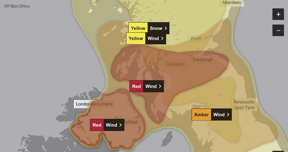
The Met Office has issued a rare red warning as it urged people to stay indoors ahead of Storm Eowyn.
The warning issued for Northern Ireland and Scotland has suggested very dangerous conditions with widespread disruption.
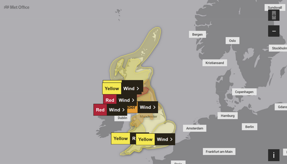
It comes as all of the UK is set to be battered by the storm, with yellow and amber warnings issued across the country.
The Northern Ireland warning will be in effect from 7am until 2pm on Friday, with an amber warning will also be in place from 6am until 9pm.

The alert has been expanded to include central Scotland
|Met Office

The red warning is in place for Scotland and Northern Ireland
|Met Office
A Met Office spokesman said: "Very strong winds associated with Storm Eowyn causing very dangerous conditions with widespread disruption and significant impacts expected."
The forecaster warned of flying debris resulting in danger to life, as well as large waves and beach material being thrown onto coastal roads, sea fronts and homes.
Roads, bridges and railway lines are likely to be closed, with delays and cancellations to bus, train, ferry services and flights between Northern Ireland and Scotland and England.
There is also likely to be damage to buildings and homes, with roofs blown off and electricity lines brought down, with the Met Office advising people to prepare for possible power cuts.
LATEST DEVELOPMENTS

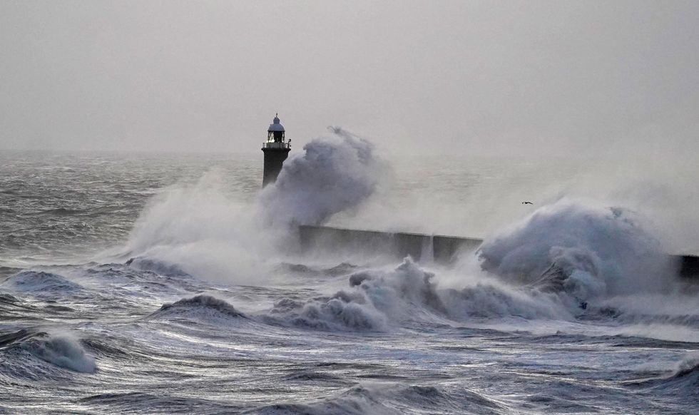
Rough seas near the Tynemouth pier lighthouse on the river Tyne
|PA
Deputy chief meteorologist at the Met Office Mike Silverstone said: "Storm Eowyn is expected to bring very strong winds and widespread disruption on Friday. There are currently a number of weather warnings in place, with all parts of the UK covered by one warning at some point on Friday.
"Storm Eowyn is expected to cross Northern Ireland early on Friday morning. It will then continue north-east across the northern half of Scotland during Friday afternoon and is expected to be centred near Shetland during Friday evening."
Gale force southerly winds turning to the west are set to bring "extremely destructive gusts in excess of 130kmh [80mph]" on Friday, the Irish forecaster Met Eireann has claimed.
"Status red" warnings are in effect across all of Ireland's 26 counties, throughout Friday morning and into the afternoon for some counties.
Winds are expected to rapidly increase on Friday morning with peak gusts of 80-90 mph (130-145 km/h) and possibly up to 100mph along some exposed coasts.
The strongest gust ever recorded in Northern Ireland was 124mph in Kilkeel in County Down on 12 January 1974.


