


Storm Ciaran could bring dangerous conditions as meteorologists suggest that a "very rare occurrence" has the potential to arise.
The storm could break a new record as experts warn it could bring the lowest sea level pressure in the last 200 years.
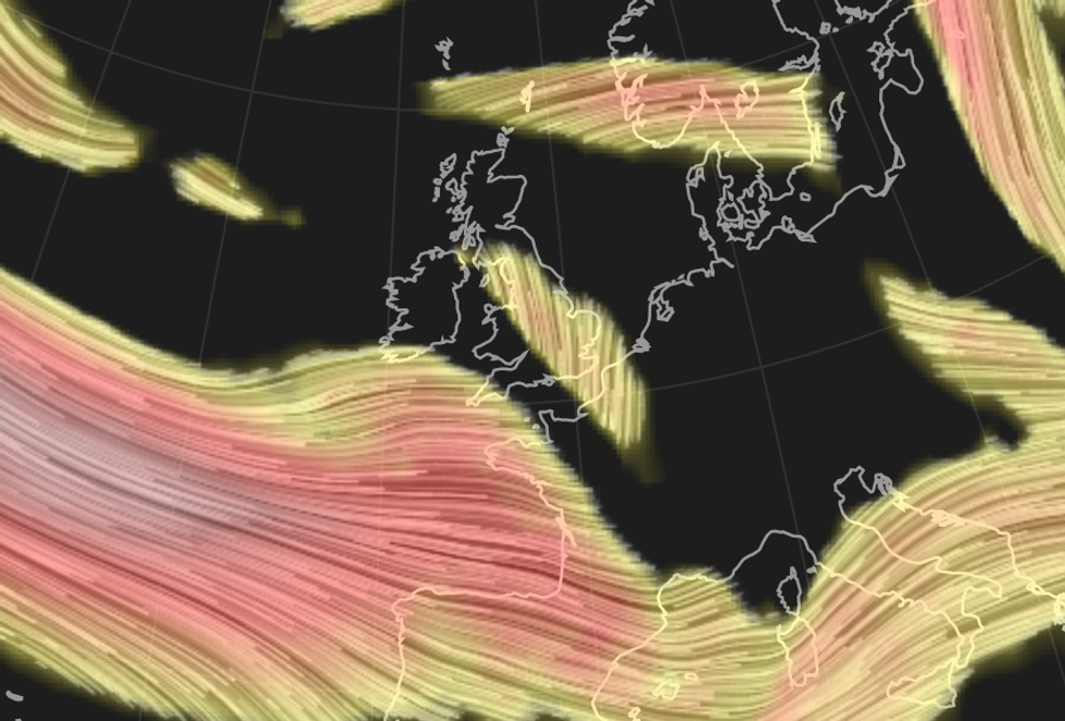
A very strong jet stream across the Atlantic has swept up Ciaran and is expected to cause explosive cyclogenesis or a weather bomb - where its central pressure reduce rapidly.
Weather experts say the impact is likely to be the development of strong winds, with southern England, south Wales and the South East most likely to see wind gusts in excess of 80mph
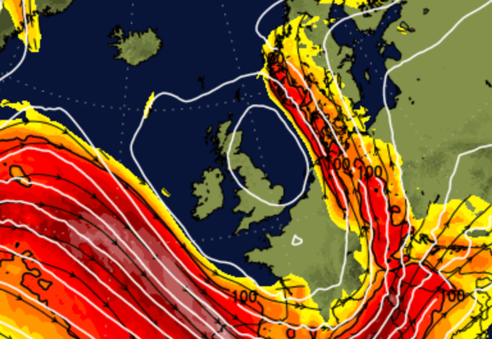
A sting jet - a small core of yet stronger winds - could also develop, and are associated with areas of rapidly deepening areas of low pressure
|Net weather
A sting jet - a small core of yet stronger winds - could also develop, and are associated with areas of rapidly deepening areas of low pressure.
Conditions could be similar to the storm of 1987 when wind speeds exceeded 100mph.
Climate Scientist Ed Hawkins wrote on social media: "On Thursday #StormCiaran is forecast to cross southern England.
"The track is still a bit uncertain but will bring very strong winds to southern areas. At around 953mb this will likely be the lowest or second-lowest sea level pressure observed in this region in the last 200 years."
He added: "The only other comparable event earlier in observed records is suggested by two independent observations (in Greenwich and Tottenham) just below 950mb early in the morning on December 25th 1821, though with more uncertainty than later observations."
It it likely that Ciaran's impacts will be very localised, with one area seeing destructive winds, while a nearby area might see no problems at all.
Jim Dale, a senior meteorologist for British Weather Services: "Storm Ciaran is still developing, southern areas especially along the coast are in line for the strongest of the winds - with wind gusts predicted of up to 80mph to 90mph.
"As it approaches, it gathers energy and has the potential to bring chaos."
Conditions could be similar to the storm of 1987 when wind speeds exceeded 100mph
|Net weather
"I expect there will be more developments of storms later down the line but globally it has been surprising as there is an unknown quantity after two hot summers heating oceans which is causing this chaos."
Weather warnings for wind remain in place across parts of Britain until 6am on Friday morning.
The Met Office warn that very strong winds associated with Storm Ciarán may disrupt travel, utilities, and cause some structural damage.