New snow alert for UK as Met Office warns of Arctic 'hazards' in February

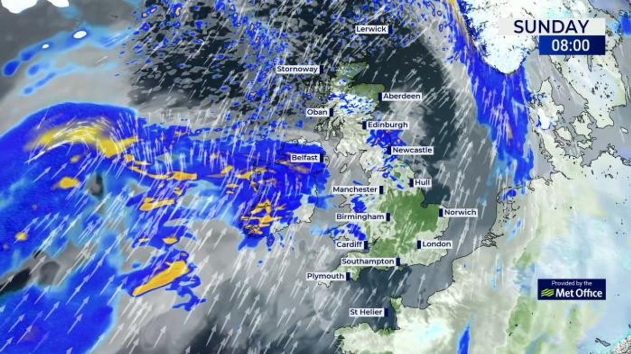
WATCH: The latest weather forecast from the Met Office for GB News
|GB News/Met Office

Temperatures are set to fall next month
Don't Miss
Most Read
Arctic conditions could be hitting the UK as the Met Office has predicted a wave of wintry conditions for February.
It comes as there is an increased likelihood of high pressure which will have greater influence on UK weather patterns.
While there is uncertainty where in the UK the high pressure will have an impact, it is expected to bring more unsettled conditions.
There is currently an increased chance of cold spells across the UK compared to average temperatures for this time of year.

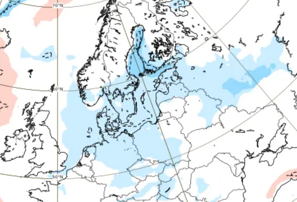
Long range forecast models are predicting a cold Arctic blast in mid-February
|ECMWF
A forecast from the Met Office from February 4 to February 18 said: "Into early February there is an increased likelihood of high pressure having greater influence on UK weather patterns.
"There is uncertainty in exactly where high pressure will become established but, regardless, this does increases the likelihood of drier conditions.
"There is also a greater than normal likelihood of winds from the north or east leading to an increased chance, compared to normal, of cold spells.
"Colder spells, with hazards such as snow and ice, are more likely towards mid-February, rather than earlier in the month. Whilst a drier and colder scenario is most likely through this period, there remains a chance of milder interludes with spells of rain and strong winds, especially across the north."

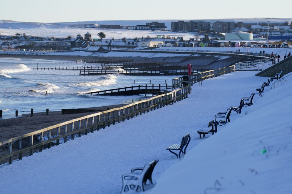
Snow covered Aberdeen's beach front earlier this week
|PA
Forecasters from NetWeather also said some wintry weather could be on the charts for February.
The NetWeather forecast said: "Long range forecast models have consistently been pointing towards high latitude blocking for February, especially around Greenland.
"Thus, there is a substantial chance that the high [pressure] will push further northwards and westwards, increasing the chances of northerly and north-easterly winds setting in at times towards mid-February, which could bring some wintry weather especially to northern and eastern Britain."
It comes as Storm Isha is set to bring strong winds to the UK on Sunday evening and Monday morning.
LATEST DEVELOPMENTS

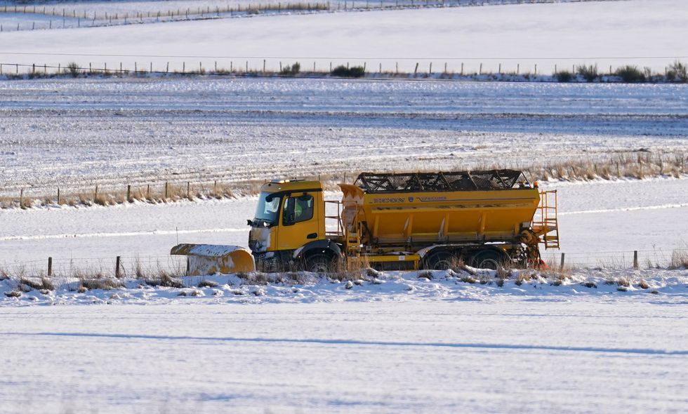
Snow ploughs were in operation across Scotland
|PA
Two amber wind alerts have been issued from 6pm tonight to 6am tomorrow morning.
The majority of the wind is set to hit Central, Tayside & Fife, Grampian, Highlands & Eilean Siar, North East England, North West England, Northern Ireland, Orkney & Shetland, SW Scotland, Lothian Borders, Strathclyde and Yorkshire & Humber.
A separate amber wind alert has been issued covering the East Midlands, East of England, South East England, North East England, North West England, South West England, Wales, West Midlands and Yorkshire & Humber.


