


The Met Office has issued a yellow weather warning as it predicts “thundery rain” will fall across seven major UK regions.
The warning will be in place for 21 hours from 9pm Saturday night until 6pm Sunday.
According to the national weather forecaster, the east Midlands, east of England, London and south east England, south west England, Wales, west Midlands and parts of Yorkshire & Humber will all be affected.
In the warning, the Met Office said heavy rain could cause flooding and disruption on Saturday night.
“Areas of heavy, possibly thundery rain may cause flooding and disruption in parts of England and Wales on Saturday night and Sunday,” the forecaster wrote.

Met Office yellow weather alert issued on September 7
|Met Office
The Met Office warned there is a “slight chance of power cuts” and localised “flooding”.
It also warned that where fast-flowing or deep floodwater occurs there could be “danger to life”.
In a more detailed update, the Met Office wrote: “Whilst there remains some uncertainty with exact details, areas of heavy and at times thundery rain are expected to spread north, then west, across England and Wales from this evening and overnight.
“These areas of heavy rain may become more persistent across western areas during Sunday daytime whilst slow-moving heavy showers and thunderstorms are likely to develop further east.
LATEST DEVELOPMENTS: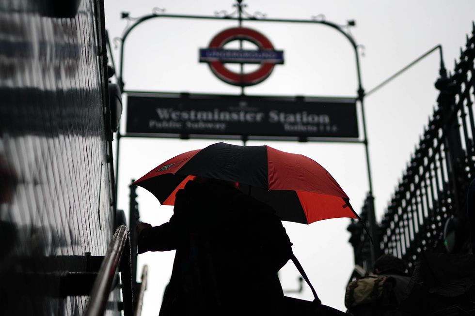
Rain will strike seven major areas of the UK including London
|PA
“Rainfall amounts will vary considerably across the warning area with some locations seeing less than 10mm of rainfall whilst others see 40-60mm of rain.
“There is a lower chance that a few spots within the warning area could see 80-100mm of rain by the end of Sunday which may fall in a fairly small period of time.
“These higher totals are slightly more probable in the southern half of the warning area.
“Given this region has also seen a lot of rain since Thursday, impacts may be more likely than would normally be expected for the time of year here.”
Despite the warning, the Met Office's danger matrix suggests that the warning has could have a medium impact but has a very low likelihood.
Elsewhere in the country, the national weather forecaster suggests conditions will be largely dry on Sunday but says it will likely be "cloudier and less warm than recent days".
Looking ahead to next week, more unsettled weather is likely to dominate the UK.
The forecast says: "a change in wind direction will lead to fresher conditions spreading across most areas from Tuesday."