Met Office issues urgent wind update as Britons brace for 250mph 'beast' Storm Eowyn battering

WATCH NOW: John Hammond explains the areas worst affected by Storm Darragh
|GB NEWS

Britain will witness the 'return of wet and windy conditions', the UK's national weather service has said
Don't Miss
Most Read
Latest
The Met Office has issued an urgent warning for Britons to prepare for the "strongest winds of the year" as Storm Eowyn approaches the UK.
Forecasters are monitoring a powerful jet stream developing over the North Atlantic, with wind speeds expected to reach an extraordinary 250mph.
The incoming weather system, which marks the first named storm of 2025, threatens to bring "disruptive" conditions to British shores by Friday.
The Met Office warned of "a return to wet and windy conditions" as freezing weather currently affecting America moves eastward, intensifying the Atlantic jet stream.

A man walking in the wind
|GETTY
BBC Weather's team has highlighted the unprecedented nature of the Atlantic jet stream, describing it as reaching "extraordinary strength" with 250mph winds.
These powerful conditions are expected to develop an intense low-pressure system, with gusts exceeding 100mph over waters west of the UK.
The exceptional jet stream strength could result in notably faster flight times for aircraft travelling between the US and UK, benefiting from the strong tailwinds.
The system's development is directly linked to the severe cold weather currently affecting North America, which is moving eastward across the Atlantic.
 |
| WXCHARTS
BBC forecaster Chris Fawkes described the jet stream as "one of the strongest I have ever seen."
"There will be 250mph winds in this beast and that is going to mean some very quick aeroplane journeys crossing the Atlantic," he noted.
Fawkes warned of an "incredibly deep area of low pressure" developing, with winds potentially exceeding 100mph within the system.
While the most severe winds are expected to remain offshore, Fawkes indicated that Friday will bring "a general pick-up of winds and some gales" along with heavy rain.
This marks the beginning of "very unsettled conditions for the last week of January," he added.
The Met Office's long-range forecast, covering January 23 to February 1, predicts "a transition to a rather more changeable and at times unsettled weather pattern."

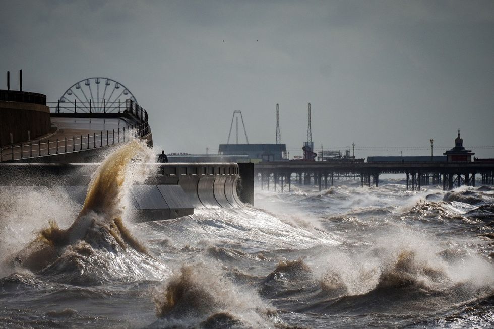
Strong winds and a high tide create large waves that hit the seawall on Blackpool Promenade
|GETTY
Outbreaks of rain and strengthening winds are expected to advance from the southwest on Thursday.
Conditions are forecast to become "wetter and windier by the weekend."
The remainder of January is likely to see "periods of rain followed by showers, often accompanied by strong winds."
Forecasters warn of the potential for weather warnings or a named storm before month's end.
Temperatures are expected to recover to near or slightly above average, though the Met Office notes it may not "feel like it at times."


