Met Office names Storm Gerrit as it warns Britain to be lashed by fierce 70mph winds and 'heavy rain'

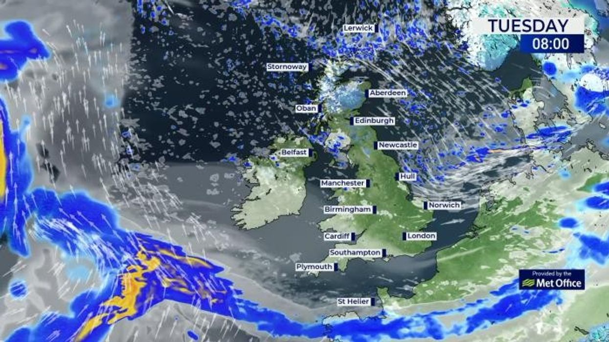
Met Office forecast for Boxing Day

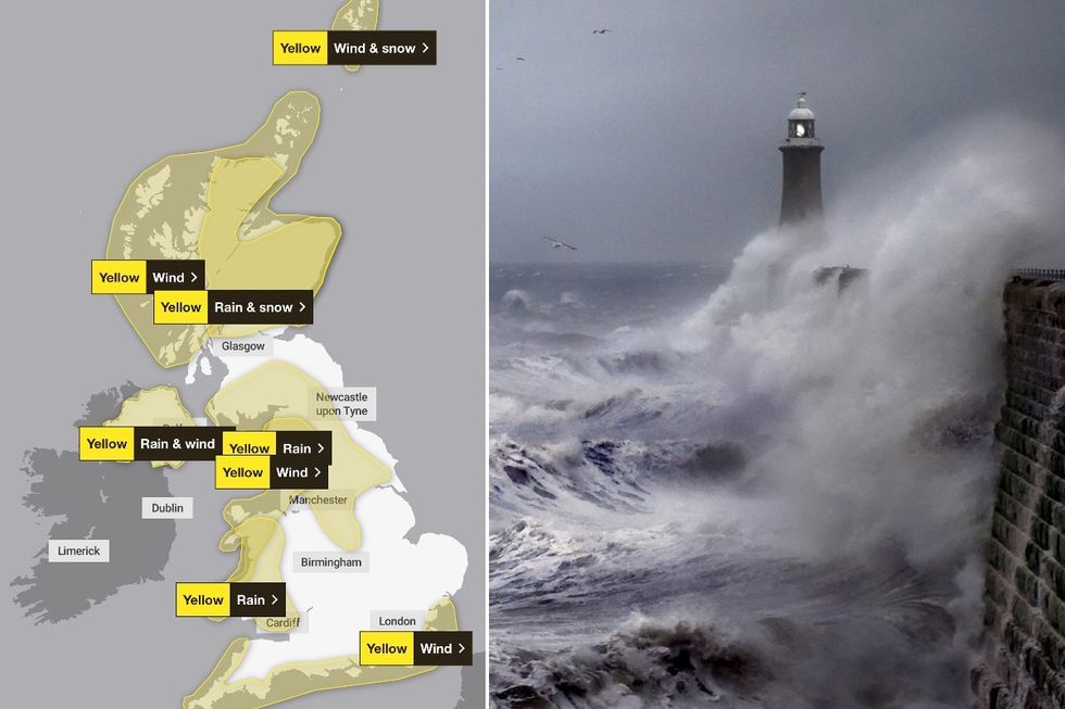
The Met Office has issued a number of weather warnings for Wednesday
Don't Miss
Most Read
The Met Office has warned the UK will be lashed with heavy rain, hill snow and fierce winds as predict the next named storm of the season will lash the Britain in a matter of hours.
Heavy rain and strong winds will whip across the country on Wednesday, bringing “wintry hazards”.
Met Office Chief Meteorologist Frank Saunders said: “Storm Gerrit will run towards western UK on Wednesday and bring with it potential impacts for much of the UK.
“Winds across southern coastal areas of England will be strong, possibly peaking around 70 mph on exposed coastlines, but more widely around 50-60 mph within the warning area.

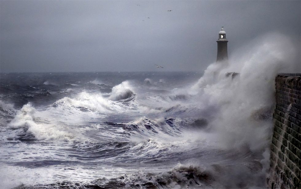
Met Office name Storm Gerrit as they warn Britain to be lashed by fierce 70mph winds and heavy rain’
|Getty Images/Met Office
“Rain is an additional hazard from Storm Gerrit, with active weather fronts leading to a wet day for many.
“Snow is also likely to cause problems for some northern areas: only briefly for a few upland routes across the Pennines and southern Scotland overnight and early on Wednesday, but more widely to the north of the Central Lowlands later in the day.
“Here around 10 to possibly 20cm of snow may affect some of the highest routes, this combining with very strong winds to lead to some difficult travel conditions.
“At lower levels a combination of heavy rain and very strong winds will dominate.”
LATEST DEVELOPMENTS:
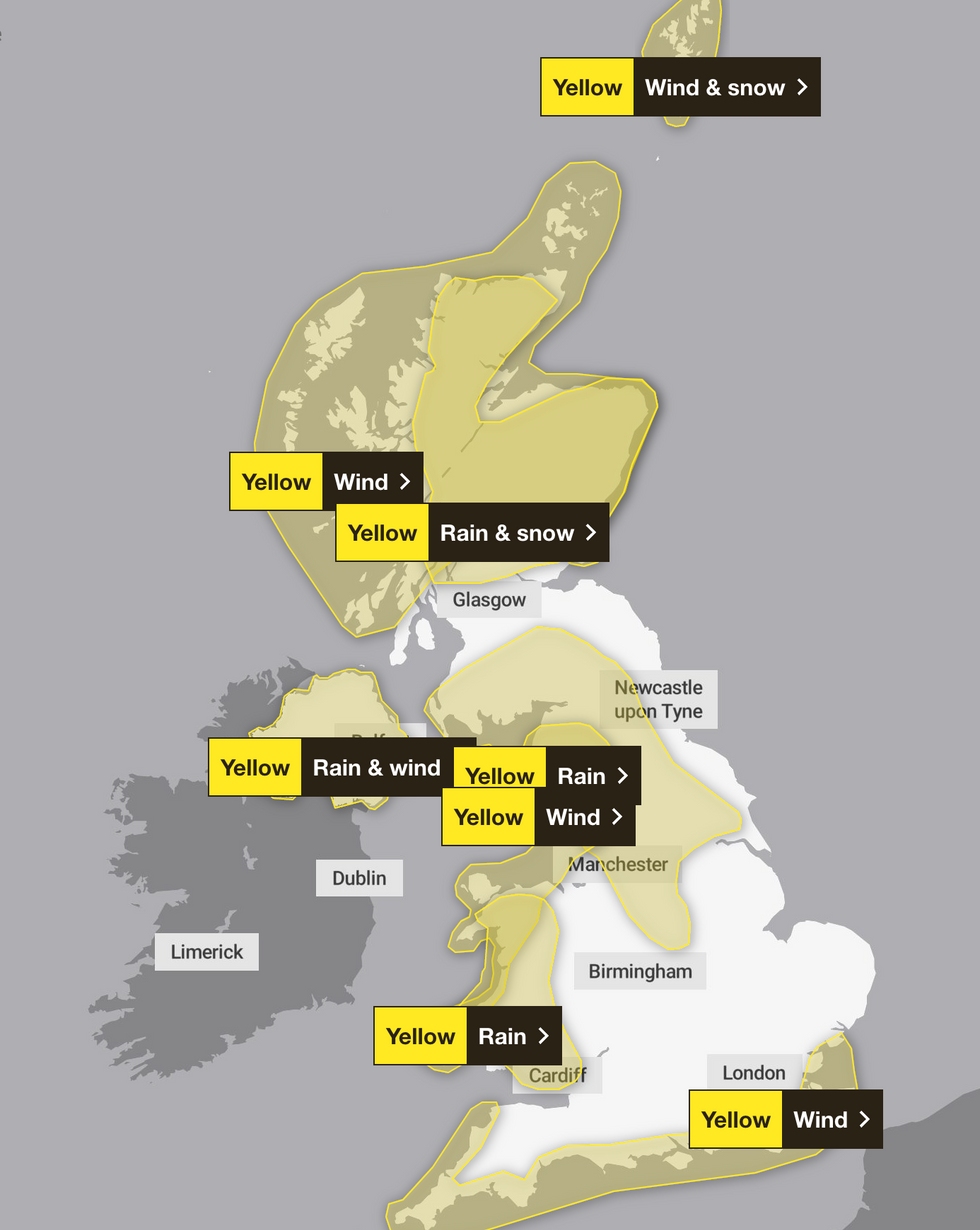
Met Office warnings
|Met Office
The Met Office has warned that their could be transport disruption, power cuts and flooding in some areas.
The weather warnings which have now been extended across most of the country cover wind, rain and snow.
According to the national forecaster, huge area of Scotland from the Highlands to Perth will be affected by snow.
The warning for rain and snow says: “A band of heavy rain and hill snow will move northeast across Scotland on Wednesday.

Met Office has named the incoming weather system as Storm Gerrit
|Getty Images
“At low elevations (roughly below 200 metres) this will fall as rain, with 20-30 mm developing quite widely across the warning area, with a risk of 50-70 mm in some locations.
“At higher elevations (roughly above 200 metres) snow is expected, with 10-15 cm likely to accumulate, particularly on southeast-facing hills and will affect some higher transport routes.
“Very strong southeasterly winds will accompany the rain and snow and exacerbate any impacts.”
Moving south, the Met Office warned the north of England and Northern Ireland will experience heavy rain and wind, while Wales and the south of England have received separate rain and wind warnings respectively.
The Met Office warning for the north of England warns: “Outbreaks of heavy rain will move northeastwards across northern England and southern Scotland during Wednesday.
“Across the warning area 20-30 mm of rain is expected to accumulate quite widely.
“Over higher ground of the Pennines, Lake District and Southern Uplands, 40-60 mm is likely during this period with as much as 70-90 mm in a few locations.
“Strong winds will likely exacerbate any impacts from the rain. Snow is also likely for a short time across higher ground, although this will quickly turn to rain.”


